 Click to see full-size image.
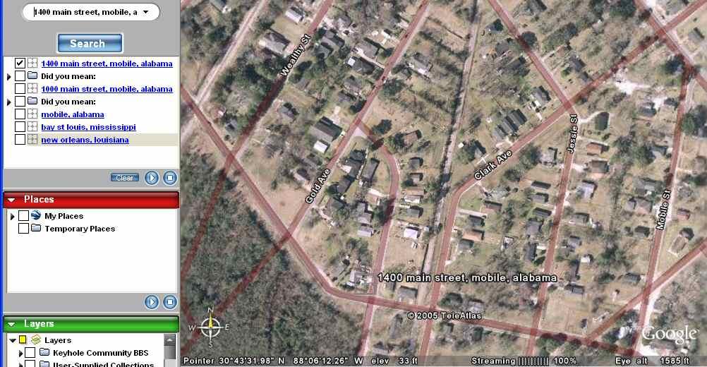
Google Earth offers detailed historical imagery of New Orleans, Mobile, and the Mississippi Gulf Coast, geocoded by street address. If the USGS, the military, or NASA took new aerial photos now, its hould be trivial to map the new photos against the old. A person could enter a street address and see what the property looked like before Katrina, and what it looks like now.
There may be over a million people who desperately want to know what their house or apartment or business looks like now. This would allow any refugee who can get to a Web browser to find out whether their home is rubble or at least superficially intact.
Use of geocoded data could even aid in rescue and recovery immediately. Louisiana Governor Blanco said today "We know people are trapped in their attics. We're trying to get them out now. I'll tell you something: Addresses mean nothing now because street signs are underwater." Given a street address and a precise GPS receiver, you could send a helicopter to within a few hundred feet of any given street address.
No comments:
Post a Comment